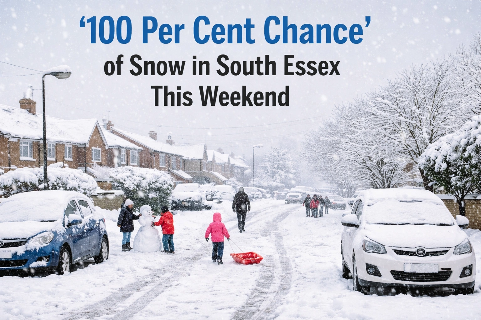
Residents across south Essex are being told to prepare for a highly disruptive winter weekend, with forecasters warning there is a “100 per cent chance” of snowfall as a cold Arctic system pushes across the region.
For many, the first flakes could arrive as early as Saturday morning, turning routine errands, weekend plans, and road travel into a wintry challenge.
Here’s what to expect, when snow is most likely to fall, and how it could affect daily life.

When the Snow Is Expected to Hit
Weather models show a sharp drop in temperatures overnight on Friday, followed by sustained snowfall through the weekend.
Key timings:
- Saturday morning: Light snow developing before 9am
- Saturday afternoon: Snow becoming heavier and more persistent
- Saturday night: Accumulation likely, especially inland
- Sunday: Further snow showers mixed with icy conditions
Forecasters say cold air will be firmly locked in, meaning any snow that falls is likely to settle quickly.

Areas Most Likely to See Snow
South Essex is expected to see widespread snowfall, though totals may vary by location.
Higher likelihood areas include:
- Basildon
- Rayleigh
- Billericay
Coastal areas such as Southend-on-Sea may initially see lighter snowfall, but colder air later in the weekend could allow snow to settle even near the seafront.

How Much Snow Could Fall?
While exact totals remain uncertain, current projections suggest:
- 2–5cm widely across south Essex
- Up to 8cm in inland and elevated areas
- Drifting possible due to gusty winds
Temperatures are expected to hover close to or below freezing, increasing the risk of compacted snow and ice.
A local weather observer said:
“This isn’t a quick flurry. Conditions suggest snow that sticks and lingers.”

Travel and Road Conditions: What to Expect
Drivers are being urged to plan ahead, especially on key routes.
Potential trouble spots:
- A127 and A13 during early morning hours
- Rural and untreated roads
- Bridges and flyovers prone to ice
Public transport may also experience delays if snowfall intensifies during peak periods.

Local authorities have confirmed gritters are on standby, but officials warn conditions could deteriorate quickly.
Why This Snow Event Is Different
Meteorologists say this system is notable because:
- Cold air arrives before precipitation
- Ground temperatures are already low
- Winds help pull colder air inland
This combination increases confidence that snow will fall as snow — not rain — leading to the unusually strong forecast language.

How Long Will the Cold Last?
Even after snowfall eases, icy conditions are expected to remain.
Looking ahead:
- Overnight lows dipping to -3°C or lower
- Frost likely on multiple mornings
- Risk of refreezing after dark
A gradual thaw is possible early next week, but shaded areas may stay icy for longer.

What Residents Should Do Now
- Check travel plans and allow extra time
- Keep warm clothing and footwear ready
- Ensure vehicles have fuel and screenwash
- Look out for elderly neighbours
Emergency services advise only essential travel during periods of heavy snowfall.
Quick Weekend Forecast Summary
Day | Conditions | Risk Level
Saturday | Snow developing, heavy at times | High
Saturday Night | Settling snow, icy | Very High
Sunday | Snow showers, freezing conditions | High
As winter tightens its grip on south Essex, residents are being urged to stay alert and prepared. If forecasts hold, this could be one of the most significant snow events of the season for the area.

Stay safe, keep warm, and check local updates before heading out.


Leave a Comment