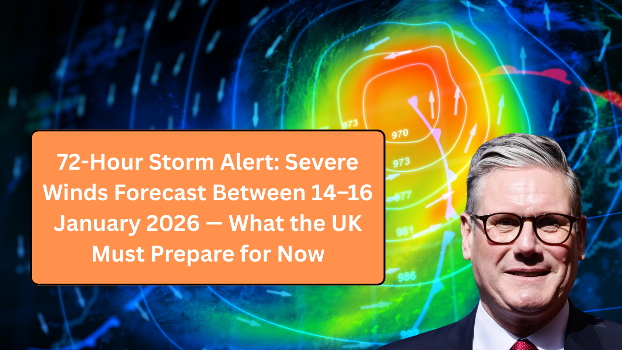
By late Tuesday evening, coastal residents in western and northern Britain were already battening down garden furniture and checking fence panels. Ferry operators issued cautions. Councils quietly moved staff onto standby. With little fanfare, a 72-hour storm alert has been issued for parts of the UK, warning of severe winds between 14 and 16 January 2026.
For many, this will feel uncomfortably familiar. Winter storms have become more frequent, more intense, and more disruptive. But forecasters say this system stands out — not just for peak gusts, but for how long damaging conditions are expected to persist.
Here’s what’s driving the alert, which regions face the highest risk, and what households should do now — before conditions deteriorate.
Who Issued the Alert — and Why It Matters
The warning has been issued following updated modelling from Met Office, which shows a deep Atlantic low pressure system tracking across the UK with an unusually broad wind field.
Forecasters say the concern isn’t just one violent front, but successive waves of strong winds over a three-day period, increasing the risk of cumulative damage.
A senior meteorologist said:
“The duration is the key factor. Even structures that withstand the first hit may fail later as soils saturate and materials weaken.”
When the Worst Conditions Are Expected
While timing may vary slightly by region, the current forecast breaks down like this:
- Tuesday night (14 Jan): Winds strengthening rapidly from the west
- Wednesday (15 Jan): Peak gusts, widespread disruption likely
- Thursday (16 Jan): Secondary surge of strong winds before gradual easing
Overnight periods are expected to be particularly problematic, with reduced visibility, falling debris, and power restoration challenges.
Wind Speeds: What “Severe” Means This Time
Forecast gusts vary by location, but current projections indicate:
- Coastal and exposed areas: 70–80 mph gusts
- Inland lowlands: 55–65 mph gusts
- Urban centres: Frequent 50+ mph gusts
While these figures are not unprecedented, the persistence of strong winds significantly raises the risk of infrastructure damage and prolonged outages.
Regions Most at Risk
Based on current models, the following areas face the highest likelihood of severe impacts:
- Northern and western Scotland
- Northern Ireland
- North-west England
- Wales, especially coastal and upland areas
- Parts of south-west England
Eastern areas are expected to be less severely affected but may still experience disruptive gusts.
Local resilience forums in these regions have moved into heightened readiness.
Why This Storm Is Different From a Typical January Blow
Britain is no stranger to winter storms, but meteorologists highlight several unusual features of this system:
- A large pressure gradient, driving sustained winds
- Multiple frontal systems rather than a single passage
- Saturated ground, increasing tree-fall risk
- High tide alignment in some coastal zones
These factors combine to increase both the likelihood and duration of disruption.
Real-World Impact Already Being Planned For
Transport operators and councils are already preparing.
In western Scotland, local authorities have begun pre-emptive checks on vulnerable road corridors. Ferry operators are warning of possible cancellations. Network operators are positioning repair crews in advance.
A council emergency planner said:
“It’s not panic — it’s preparation. The aim is to reduce downtime if things go wrong.”
Power Cuts: A Major Concern
Strong winds are one of the leading causes of winter power outages.
Risks increase when:
- Trees fall onto overhead lines
- Gusts damage older infrastructure
- Repairs are delayed by continuing weather
Energy providers warn that some outages may last longer than usual, particularly in rural and island communities.
Households are being urged to prepare for several hours — potentially longer — without electricity.
Travel Disruption Likely Across All Modes
Road Travel
Drivers should expect:
- Fallen trees and debris
- Temporary road closures
- High-sided vehicle restrictions
- Dangerous crosswinds on bridges
Police advise avoiding non-essential journeys during peak periods.
Rail
Rail operators warn of:
- Speed restrictions
- Service suspensions on exposed routes
- Delays caused by debris on lines
Storm-related rail disruption often escalates rapidly once winds exceed 60 mph.
Air and Sea
Airports in affected regions may see:
- Delays and cancellations
- Turbulent approaches
- Repositioning of aircraft
Ferry services are particularly vulnerable during prolonged wind events.
Flooding and Coastal Impacts
While this is primarily a wind event, coastal flooding remains a secondary concern.
High winds coinciding with high tides can cause:
- Overtopping of coastal defences
- Dangerous wave action
- Flooding of promenades and low-lying roads
Residents in coastal areas are urged to avoid seafronts entirely during warnings.
Why Older and Vulnerable People Face Greater Risk
Storms don’t affect everyone equally.
Higher-risk groups include:
- Older adults living alone
- People reliant on powered medical equipment
- Those with mobility limitations
- Rural households with limited access
Local authorities stress the importance of checking on neighbours before and during the storm window.
Government and Emergency Response
Emergency coordination falls under National Emergency Management Agency at national level, working with local resilience forums.
Officials say there is no cause for alarm, but preparation is essential.
A spokesperson said:
“These alerts are about readiness. Taking simple steps early can prevent serious problems later.”
What Households Should Do Now
Experts recommend acting before winds strengthen.
Key steps include:
- Secure garden furniture, bins, and loose items
- Park vehicles away from trees and walls
- Charge phones and essential devices
- Prepare torches, batteries, and warm clothing
- Check on elderly or vulnerable neighbours
- Avoid coastal and exposed areas once warnings begin
Small actions can significantly reduce damage and risk.
If You Rely on Electricity for Medical Needs
People using powered medical equipment should:
- Ensure backup plans are in place
- Know who to contact in an outage
- Keep emergency numbers accessible
- Inform energy providers if not already registered as vulnerable
Support services prioritise registered households during outages.
Comparison: Typical Winter Storm vs This Alert
| Factor | Typical Storm | 14–16 Jan Alert |
|---|---|---|
| Duration | 12–24 hours | Up to 72 hours |
| Wind peak | Short-lived | Repeated surges |
| Outage risk | Localised | Widespread |
| Travel impact | Temporary | Prolonged |
| Recovery | Rapid | Potentially delayed |
The extended timeframe is the main concern.
Expert Insight: Why Prolonged Wind Events Are Increasing
Climate scientists note a trend toward longer-lasting winter wind events.
Dr. Helen Moore, a climate dynamics researcher, explains:
“Warmer oceans add energy to storm systems. That doesn’t always mean stronger peaks — but it often means storms last longer.”
This increases cumulative damage even when gusts aren’t record-breaking.
Schools, Care Homes, and Businesses
Organisations are advised to review contingency plans.
This includes:
- Reviewing staff travel arrangements
- Securing outdoor areas
- Ensuring backup heating where possible
- Communicating closure plans early
Care homes in exposed areas have been advised to double-check emergency power provisions.
What Not to Do During Severe Winds
Authorities strongly advise against:
- Walking near trees or scaffolding
- Visiting coastlines to “watch the waves”
- Driving through debris-strewn roads
- Attempting DIY repairs during high winds
Most storm-related injuries occur after warnings have been issued.
Will This Lead to a Red Warning?
At this stage, warnings remain below the highest level, but forecasters say upgrades are possible if confidence increases in extreme impacts.
Residents are urged to monitor official updates closely rather than relying on social media speculation.
How Long Until Conditions Improve?
Current projections suggest gradual improvement late on 16 January, though residual gusts may linger into the 17th in northern areas.
Clean-up and repairs may take several days, especially where multiple systems cause cumulative damage.
Frequently Asked Questions About the Storm Alert
1. Is this storm unusual for January?
The duration makes it unusual.
2. Are red warnings in place?
Not at this stage, but updates are possible.
3. Should I travel during the alert?
Avoid non-essential travel.
4. Will schools close?
Decisions are local and weather-dependent.
5. Are power cuts likely?
Yes, especially in exposed areas.
6. Should I stockpile supplies?
Basic preparedness is sensible.
7. Are pets at risk?
Yes — keep them indoors.
8. Can bins and trampolines really cause damage?
Yes, in high winds.
9. Are older homes more vulnerable?
Often, yes.
10. Should I cancel appointments?
Consider rescheduling during peak periods.
11. Will public transport run?
Expect disruption.
12. Is flooding a major risk?
Coastal flooding is possible.
13. How often will updates be issued?
At least daily, sometimes more.
14. What’s the biggest danger?
Flying debris and falling trees.
15. What’s the best advice?
Prepare early and stay indoors during peak winds.


Leave a Comment