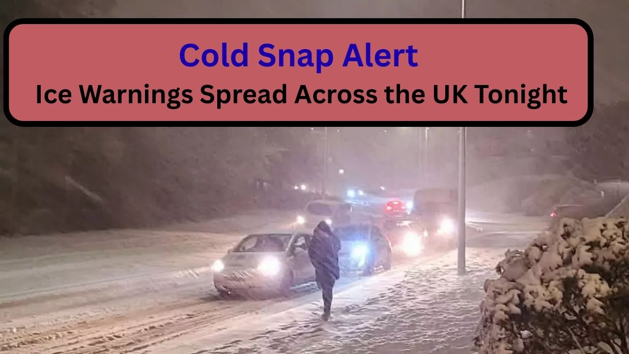
A significant cold snap is spreading across the UK tonight, prompting widespread ice warnings and renewed concern for road safety, pedestrian injuries, and early-morning travel disruption. While snowfall may be limited in some areas, officials stress that ice is the primary danger, and it can form rapidly with little visible warning.
The alerts have been highlighted by the Met Office, which says tonight’s conditions create a “high risk of sudden and hazardous ice formation” across much of the country.
Below is a detailed explanation of what’s happening, why it’s dangerous, who is most at risk, and what people should do now.

What a “Cold Snap” Really Means in This Case
This cold snap is driven by a shift in air masses, allowing cold continental air to settle over the UK. Unlike prolonged snowy spells, this type of system is particularly dangerous because:
- Temperatures drop very quickly after sunset
- There may be little or no snow to warn people of danger
- Moisture already on roads refreezes suddenly
- Ice forms unevenly, making hazards unpredictable
In simple terms, surfaces that were safe earlier in the evening can become dangerously slippery within minutes.
Why Ice Is the Biggest Threat — Not Snow
Ice, especially black ice, is far more dangerous than snow because:

- It is almost invisible, especially at night
- Tyres and footwear lose grip instantly
- Drivers often have no warning before losing control
- Pedestrians may not realise pavements are frozen
Black ice commonly forms when:
- Rain or melting snow is left on surfaces
- Temperatures fall below 0°C
- Winds are light, allowing freezing to settle in
This is why accidents often spike overnight and at dawn, even when there has been little snowfall.
Areas Most Likely to Be Affected
Ice warnings are covering large parts of the UK, including:

- Northern England
- The Midlands
- Wales
- Scotland
- Eastern and southern England overnight
The most dangerous locations include:
- Rural and untreated roads
- Bridges and flyovers
- Shaded streets
- Pavements near homes and shops
Urban areas are not immune — especially on side roads and footpaths that are not prioritised for gritting.
Why Tonight Is Especially Hazardous
Tonight’s conditions are particularly risky because:

- Temperatures continue falling throughout the night
- Earlier moisture increases refreezing risk
- Gritting does not cover all routes
- Clear skies accelerate heat loss from the ground
As a result, ice can:
- Appear suddenly
- Persist into the early morning
- Remain in shaded areas even after sunrise
This creates a false sense of safety, especially for early commuters.
Impact on Roads and Travel
For Drivers
- Sudden loss of traction on bends and junctions
- Longer stopping distances, even at low speeds
- Increased risk of collisions on untreated roads
Even short journeys can become hazardous, particularly between 5am and 9am.

For Public Transport
- Bus delays due to unsafe roads
- Rail issues from frozen points and tracks
- Knock-on disruption during the morning rush
For Pedestrians
- Slips and falls on icy pavements
- Increased hospital admissions for fractures and head injuries
- Difficulty accessing shops, services, and appointments
Why Seniors Are at Higher Risk
Older adults are especially vulnerable during ice events because:
- Balance and reaction times may be reduced
- Falls are more likely to cause serious injury
- Recovery times are longer
- Cold conditions can worsen existing health issues
Health officials strongly advise seniors to:
- Stay indoors overnight and early morning
- Avoid icy pavements unless essential
- Wear footwear with strong grip
- Keep homes adequately heated
Family members and neighbours are encouraged to check in on elderly people, especially those living alone.

What People Should Do Right Now
Before conditions worsen further:
- Finish essential travel early
- Avoid late-night and early-morning journeys if possible
- Grit or salt driveways and paths
- Prepare warm clothing and blankets
- Keep phones charged in case of delays or emergencies
Small steps taken now can significantly reduce risk later.
When Conditions May Improve
Forecasts suggest:

- Ice forming widely overnight
- Continued risk into early morning
- Gradual improvement later in the day in some regions
- Persistent icy patches in shaded or rural areas
Even when temperatures rise slightly, ice can linger, so caution remains essential.
Questions and Answers
1. Can ice form without snow?
Yes. Ice often forms from rain or damp roads.
2. What is black ice?
Clear ice that blends into the road surface.

3. Are main roads safe?
Safer than minor roads, but not guaranteed.
4. Why is early morning so dangerous?
Because refreezing peaks just before sunrise.
5. Should drivers avoid travel tonight?
Yes, unless absolutely necessary.
6. Are pavements as dangerous as roads?
Yes — falls are a major concern.
7. Do bridges freeze faster?
Yes, they cool from above and below.
8. Will gritting stop all ice?
No, especially on side streets.
9. Are rural areas worse affected?
Often yes, due to limited treatment.
10. Are seniors advised to stay indoors?
Yes, particularly overnight and early morning.
11. Can conditions change suddenly?
Yes, within minutes after sunset.
12. Is this classed as severe weather?
It is considered high-impact.
13. Will schools or services be affected?
Possible early-morning disruption.
14. How long can ice last?
Into late morning in some areas.
15. What’s the biggest danger?
Underestimating how quickly surfaces become icy.


Leave a Comment