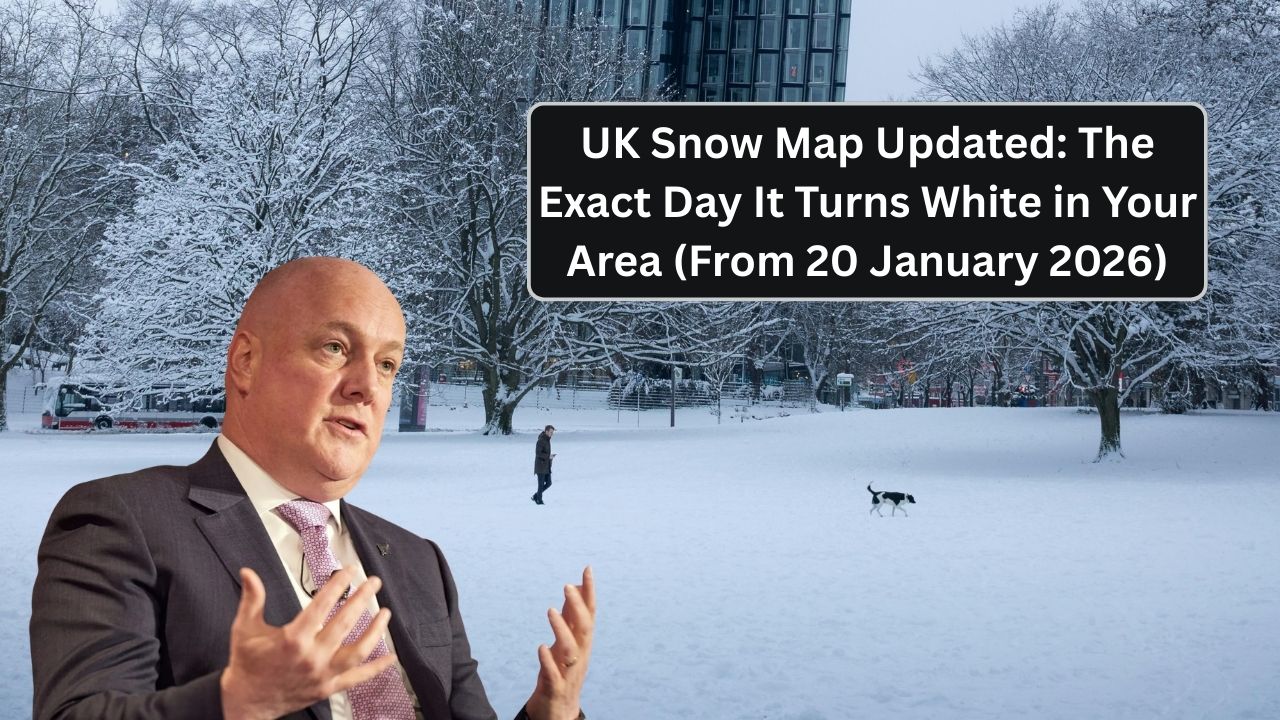
Large parts of the UK are preparing for a significant shift to wintry conditions from 20 January 2026, with updated snow maps now showing when snow is most likely to settle in each region. Forecasters say this is shaping up to be the most widespread snow risk of the winter so far, driven by colder air moving south and a series of weather fronts crossing the country.
For commuters, schools, and vulnerable households, the timing matters as much as the snow itself.
What the Latest Snow Maps Show
Updated projections from the Met Office indicate a clear pattern emerging from 20 January 2026 onwards.

Key points from the latest models:
- Snow risk increases sharply from Tuesday 20 January
- Cold air will already be in place before precipitation arrives
- Snow is more likely to settle, not just fall briefly
- Overnight and early-morning periods pose the highest risk
Forecasters stress this is now a high-confidence winter event, not a marginal forecast.
A meteorologist said:

“This is the kind of setup where rain quickly turns to snow as colder air digs in. Timing will be critical for travel.”
The Exact Day Snow Is Expected by Region
While conditions can still shift, current maps suggest the following regional timeline:
From 20 January

- Scotland (especially central and eastern areas)
- Northern England
- Higher ground in Wales
From 21 January
- Midlands
- North Wales
- Pennines and surrounding areas
From 22 January
- Southern England (especially inland areas)
- Parts of the South West
- Chilterns and higher ground in the South East
Coastal areas may see sleet or rain at first, with snow more likely overnight.

Where Snow Is Most Likely to Settle
Snow settling is most likely where:
- Temperatures fall below freezing overnight
- Winds are lighter
- Precipitation is steady rather than showery
High-risk zones include:
- Rural areas
- Elevated routes
- Areas away from the coast
- Early-morning travel corridors
Urban centres may still see snow, but thawing could be faster during daylight.

Why This Event Is Different
Unlike earlier winter cold snaps, this system combines:
- Cold air already in place
- Widespread precipitation
- Several consecutive cold nights
That combination increases the risk of:
- Disrupted travel
- School closures
- Icy roads and pavements
- Delays to deliveries and services
Authorities are advising people not to treat this as a “one-night” event.

Travel Disruption Likely
From 20 January onwards, drivers and passengers should expect:
- Slower road conditions
- Increased accident risk
- Rail delays and cancellations
- Early-morning travel disruption
Even treated roads can become hazardous once snow compacts into ice.
What Households Should Do Now
Before the snow arrives:

- Avoid unnecessary travel on peak days
- Stock up on essentials and medication
- Check heating systems
- Grit paths and driveways where possible
- Keep phones and power banks charged
Preparation reduces risk significantly during prolonged cold spells.
Impact on Schools and Services
Local authorities may:
- Delay school openings
- Close rural schools temporarily
- Prioritise gritting on main routes
- Reduce non-essential services
Parents are advised to check local updates daily from 20 January.

Real Concerns From Residents
Tom, a delivery driver in the Midlands, said timing is key.
“If it hits during the morning rush, everything slows down fast,” he said.
Meanwhile, a pensioner in North Yorkshire explained:
“Once the snow settles here, it doesn’t melt quickly. We prepare early.”
How Long Snow Could Last
Current forecasts suggest:
- Snow risk from 20–23 January
- Lingering ice beyond that
- Gradual thaw only if milder air arrives
Updates are expected daily as conditions develop.
Q&A: UK Snow Forecast January 2026
1. Is snow confirmed?
High confidence in many regions.
2. When does it start?
From 20 January 2026.
3. Will it affect the whole UK?
Most areas at some point.
4. Will snow settle?
Likely in many inland areas.
5. Are cities affected?
Yes, especially overnight.
6. Is travel disruption likely?
Yes.
7. Will schools close?
Possibly in affected areas.
8. Is ice a risk?
Very high.
9. Are updates expected?
Yes, daily.
10. Should people prepare now?
Yes.
11. Is this worse than earlier cold snaps?
Potentially, due to duration.
12. Will the South see snow?
Yes, later in the week.
13. Are coastal areas safer?
Slightly, but not immune.
14. Will temperatures stay low?
Yes.
15. What’s the key message?
From 20 January, many areas will see snow — check local timing and prepare.


Leave a Comment